The Cape Canaveral Lighthouse, Beaches and a Cemetery – Biking through Space Ruins
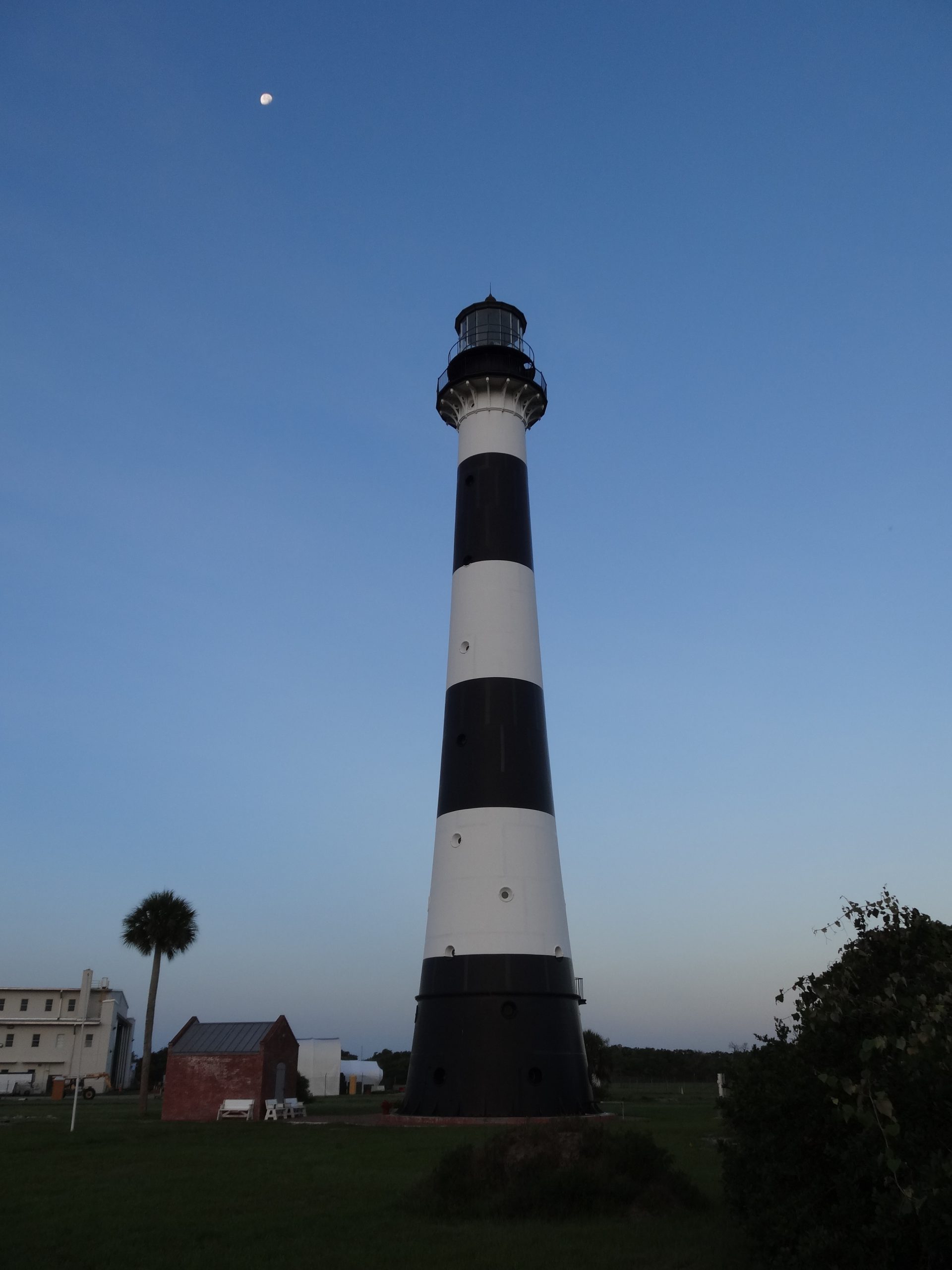
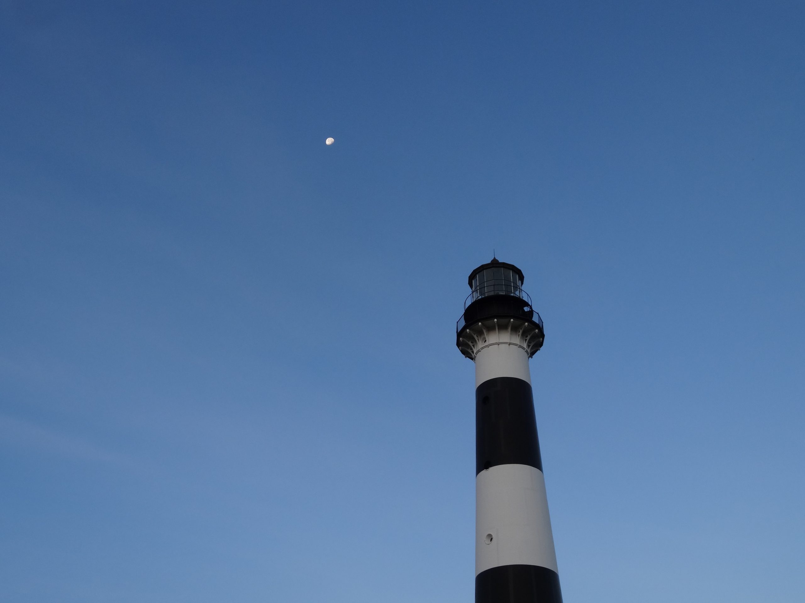
Many of my bike rides out at the Cape Canaveral Space Force Station started at the Cape Canaveral Lighthouse. One of my favorite locations to bike to was the beach via the Camera Road A (Alpha) beach access road.
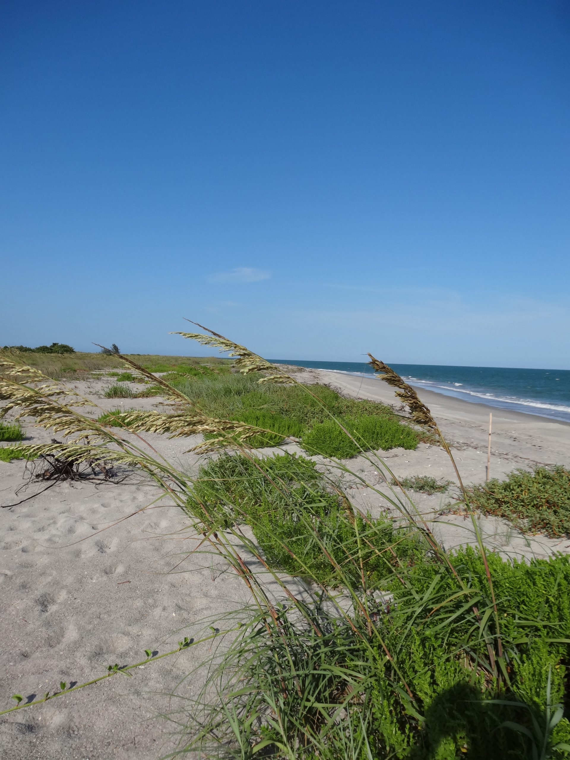
One of the perks of working out at the Space Center was that fishing and walking on the pristine beaches was allowed at several locations, one being Camera Road A and another is Camera Road B (Beta) – (See the map below).
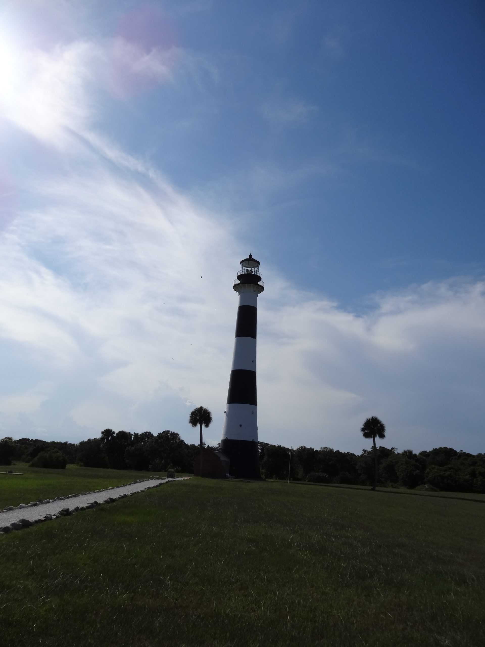

Once I departed the Lighthouse, I would head south on Lighthouse Road and then turn Southeast on Camera Road A that would take you directly to the beach.

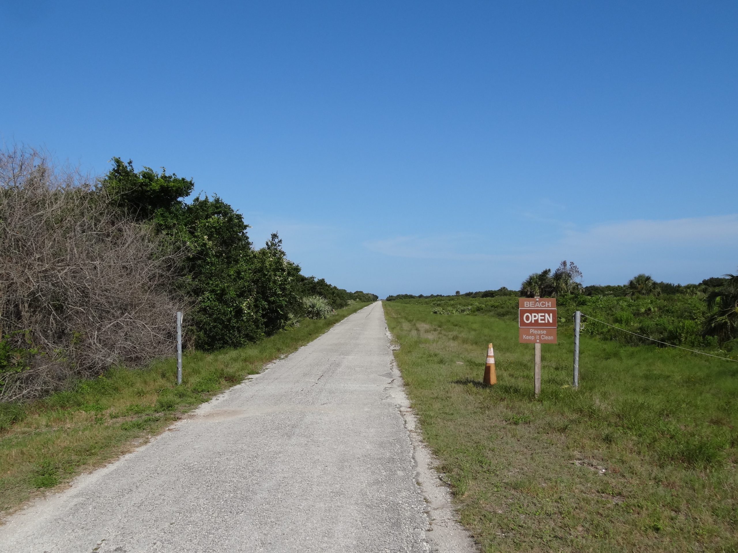
Biking down Camera Road A was always enjoyable knowing at the end of the road the beach awaits. Camera Road A was the location of several of the sunrise photos I took over the years.
As you approach the beach there is a small parking area and boardwalk that leads over to the beach.

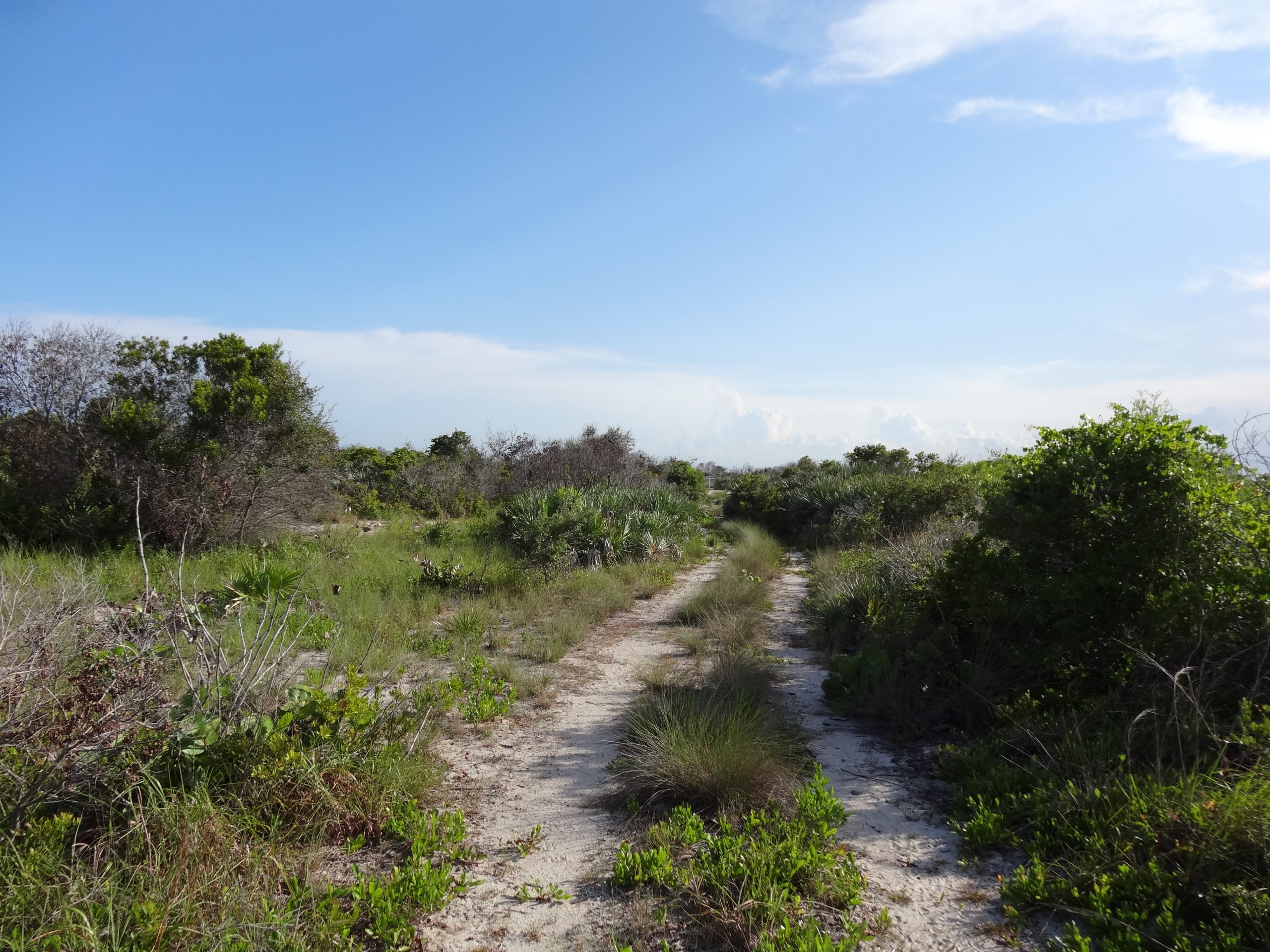
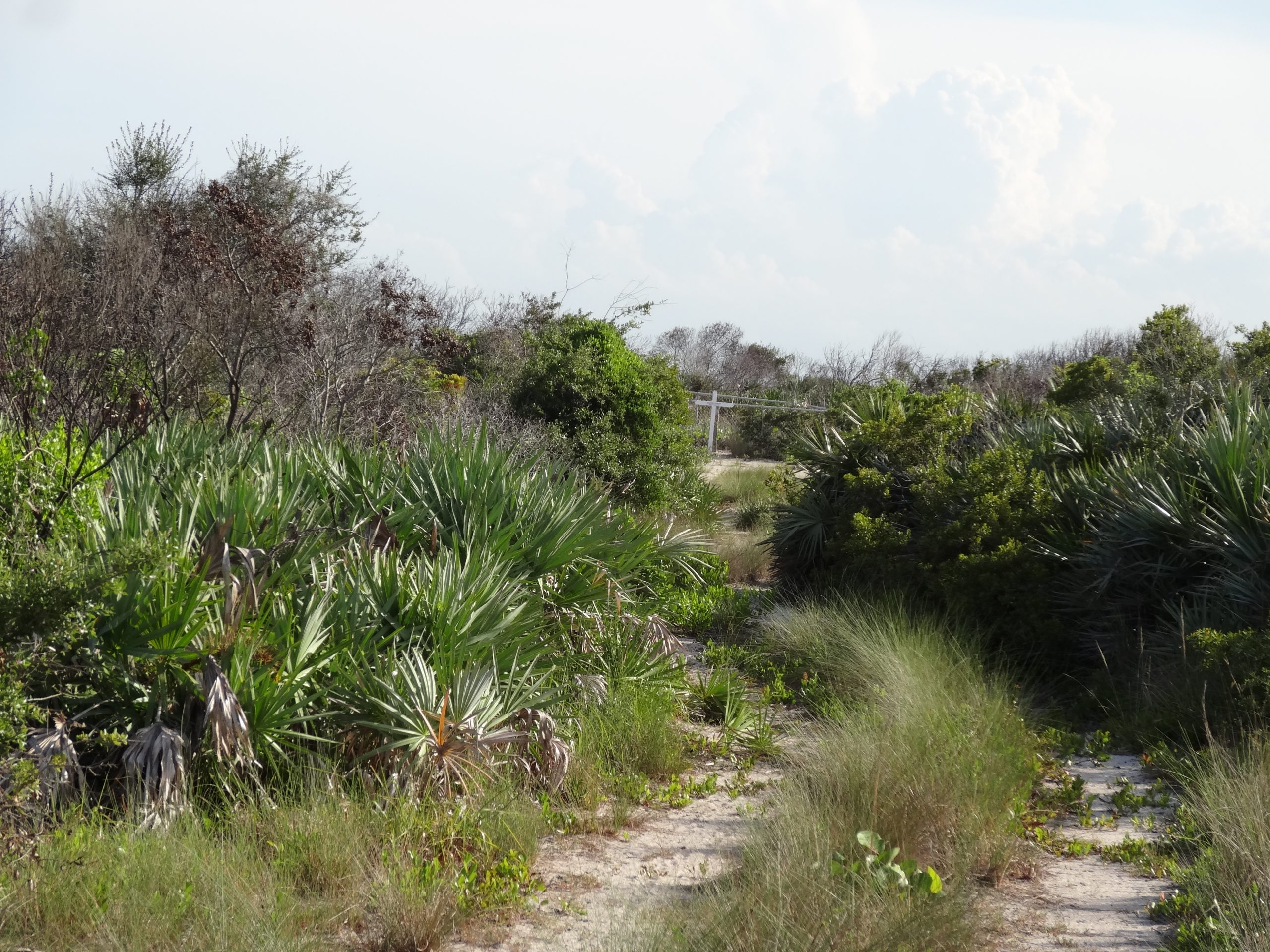
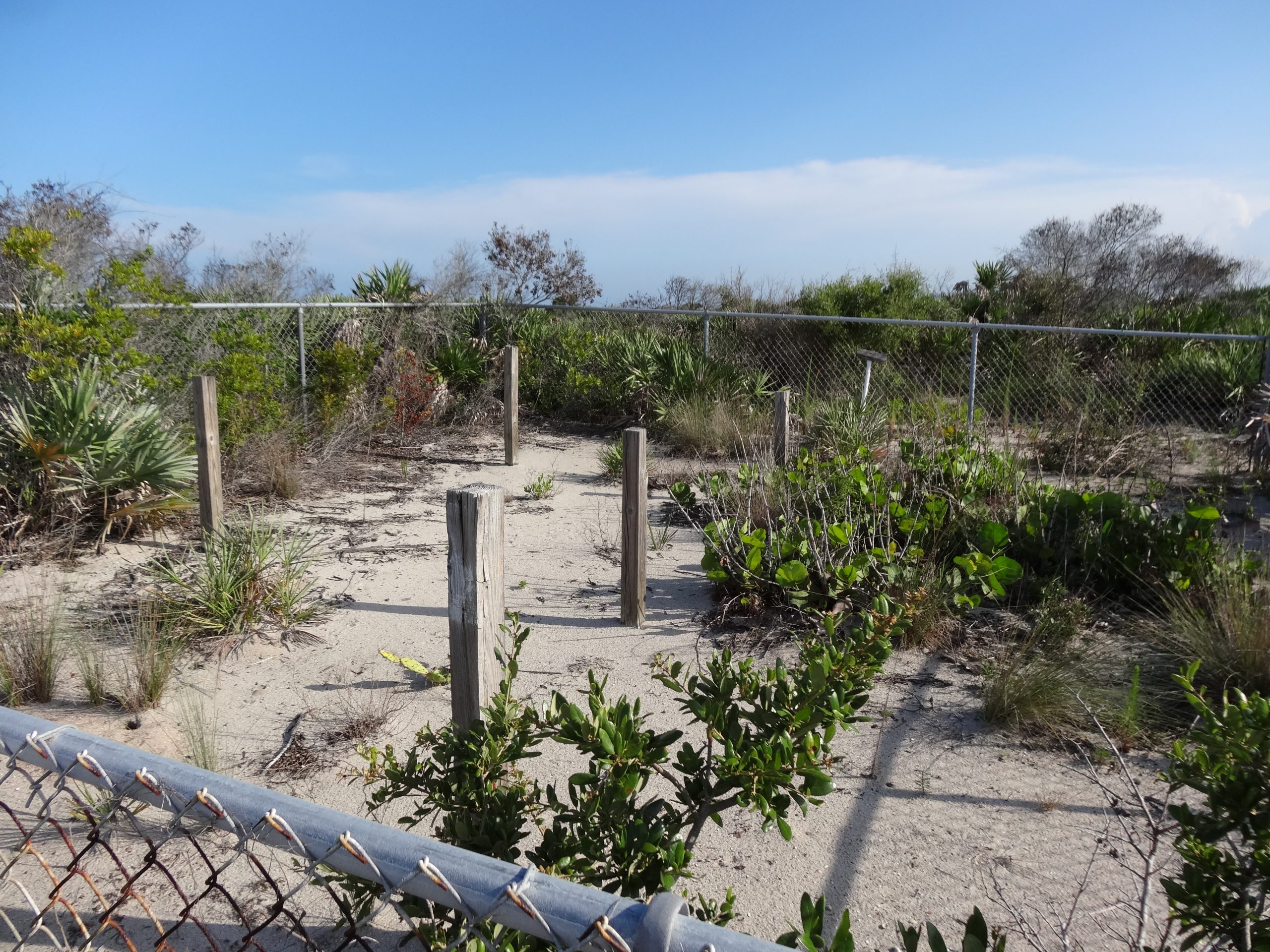
On my way back one day, I happened to glance down a dirt road that headed south off of Camera Road A and noticed a fence off in the distance. I decided to head down the dirt road and came upon a very small cemetery surrounded by a chain link fence. Inside of the cemetery was a grave yard marker of a cross with the name of Harry Osman painted on the cross. I did do a little research on the name and found the following information: Harry Osman: Accidentally blown overboard and drowned during the explosion and fire of the Yacht Huntress, 12 miles northeast of Cape Canaveral.
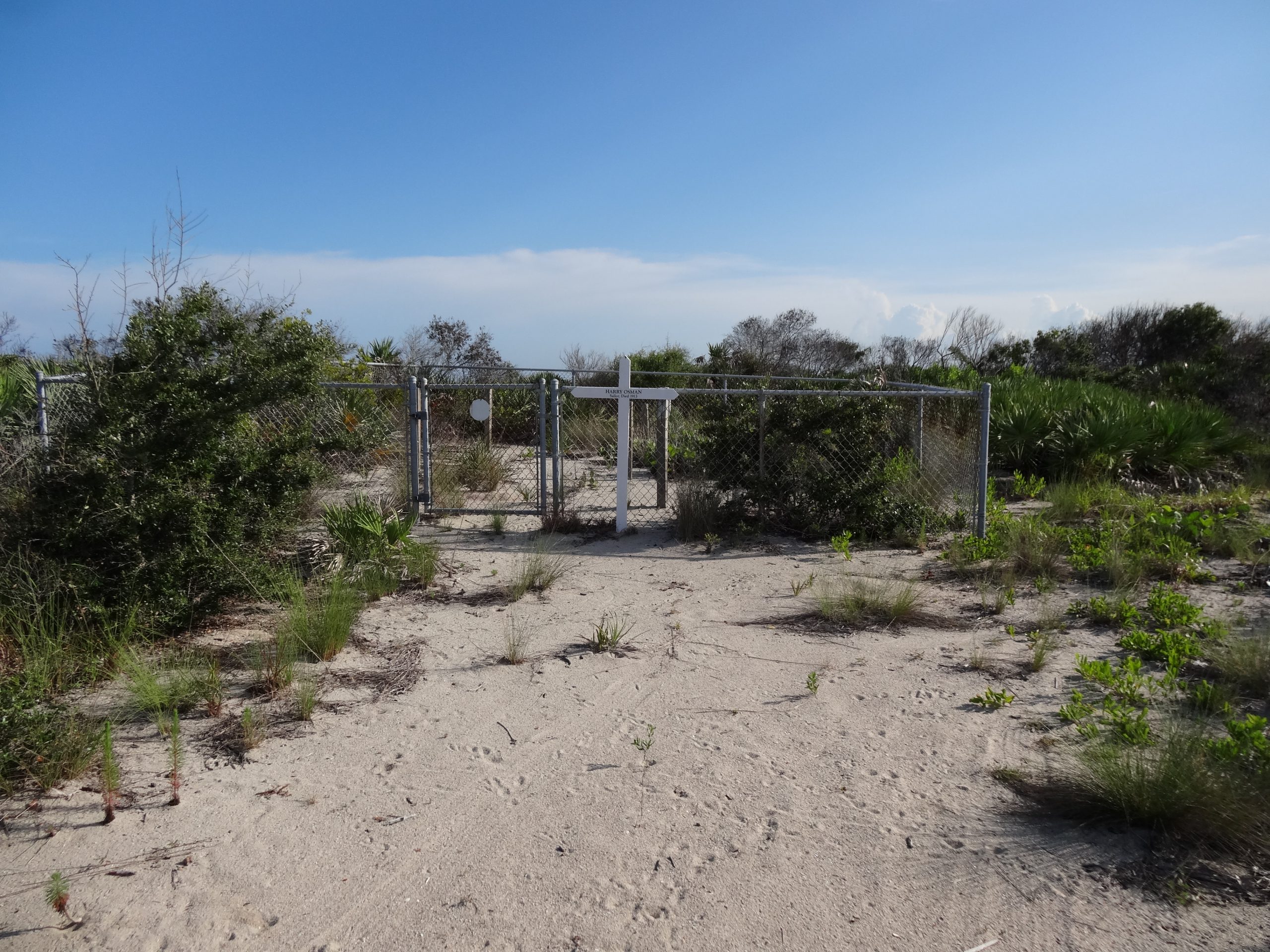

As I rode away from the graveyard my mind wondered about Harry Osman, who was he and how did he end up on the shores of Cape Canaveral.
It was quite a different day stumbling across that small cemetery but it was another interesting story added to my many bike rides through Space Ruins at Cape Canaveral.
About the Author and Photographer: Alden Pitard has over 40 years experience working in the Aerospace Industry at Cape Canaveral, The Kennedy Space Center (KSC) and Boeing locations throughout the country. He has supported the Space Shuttle Program, International Space Station, 787 Dreamliner and most recently the Artemis Program. During his time at "The Cape" he photographed a majority of the Launch Sites at KSC and Cape Canaveral. As the Space Shuttle program was coming to a close in 2011, the author decided to bike to all the Launch Complexes he could and capture the Space Center and Cape Canaveral as it was - thus "Biking through Space Ruins".